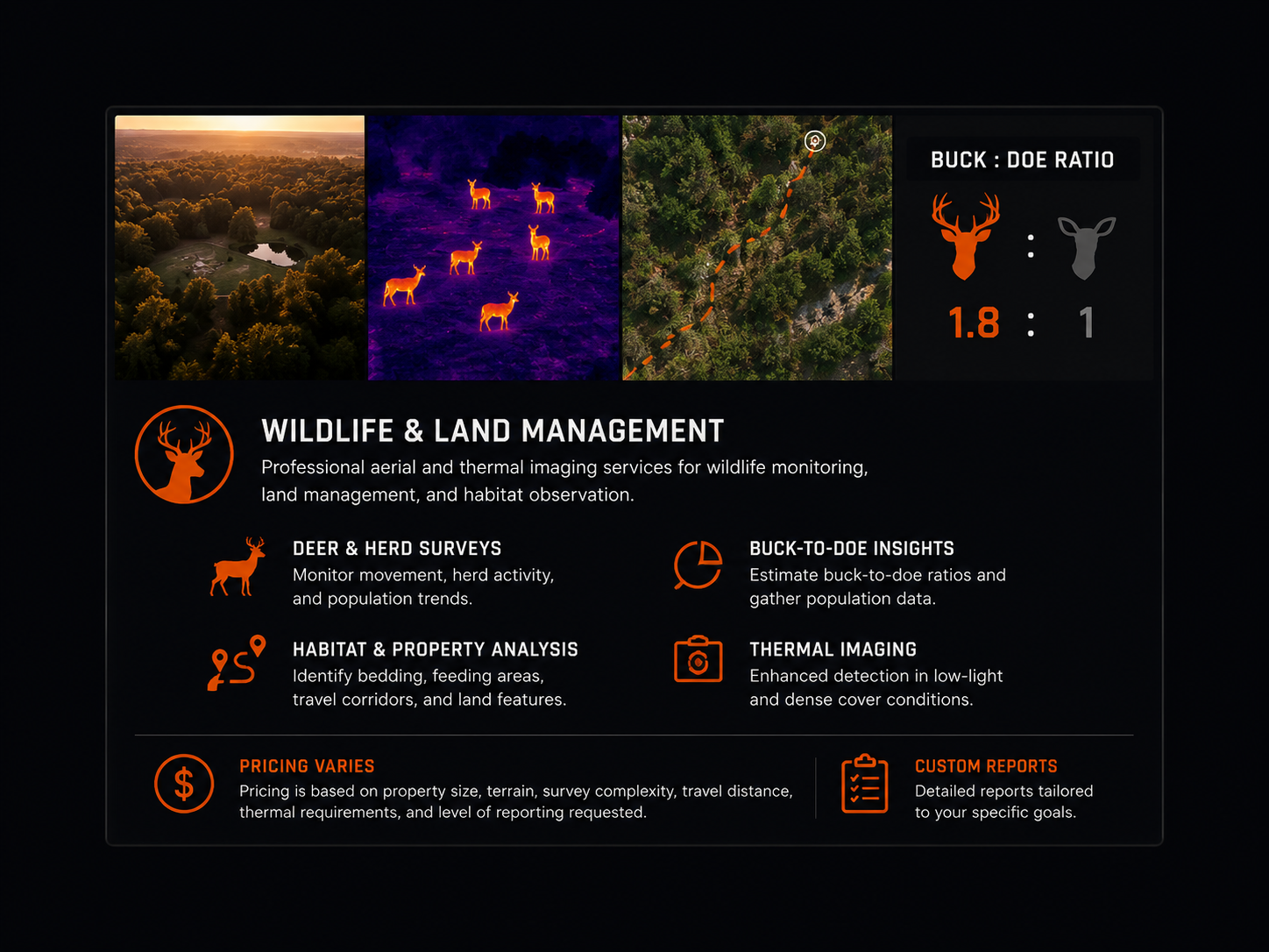
Standard Wildlife Survey — Starting at $250
Aerial drone surveys designed to assist with wildlife observation, habitat review, property overview, and general land management insights.
Thermal Wildlife Survey — Starting at $400
Thermal imaging surveys ideal for identifying wildlife movement, bedding areas, herd activity, and improving visibility during early morning, evening, or nighttime operations.
Day & Night Survey Package — Additional $100
Includes two separate drone survey sessions on the property for improved movement analysis and comparison.
Properties Over 100 Acres — Custom Pricing
Larger properties may require additional flight time, battery rotations, and expanded coverage planning.
Package Options Available — Call for Full Details
Custom packages available for recurring surveys, seasonal monitoring, hunting properties, and land management needs.
Travel Fee
$1.00 per mile after 25 miles.
Important Note
We provide aerial imaging and thermal data collection services to assist property owners, land managers, and hunters with wildlife observation and land monitoring. We do not guarantee wildlife counts or animal locations, as movement patterns naturally vary based on weather, season, pressure, and habitat conditions.